Thursday, December 27, 2018

Erie Canal (Lockport, New York)

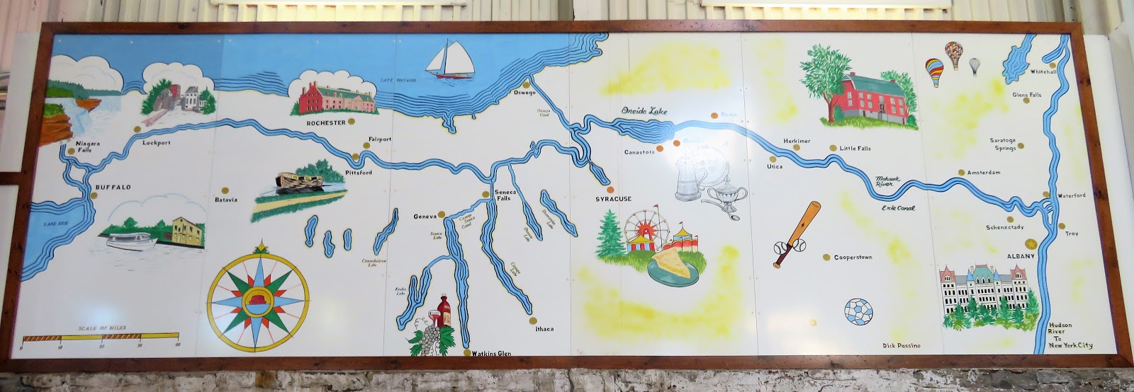
Our next stop as we moved through July 2018, was Lockport, New York. This town grew from the banks of the Erie Canal, and is located in the center of Niagara County, about 18 miles east of Niagara Falls and the Canadian border. We set down for two weeks in Lockport, a little longer than our previous stops, and a nice respite from the faster pace we’d been traveling. While we were here, we took a boat tour of the Erie canal.

I've got an old mule and her name is Sal, fifteen miles on the Erie Canal… low bridge, everybody down…

If you know this song, you’re probably singing it in your head right now, and if you know the history of the song, you know it’s connected to the construction of the Erie Canal, the 363-mile waterway between the Hudson River, Niagara River and the Great Lakes. Built to create a navigable water route from New York City and the Atlantic Ocean to the Great Lakes, it was the second largest canal in the world (after the Grand Canal in China) when completed in 1825.

Our cruise took us through the portion of the canal that runs through Lockport, where we experienced our boat rising 50 feet as three million gallons of water filled Locks 34 & 35. When the water in the locks was at the appropriate level, our boat was allowed to pass through. During our cruise we passed under several bridges, and saw  many historical buildings along the banks as our captain chronicled the construction of the canal and a history of the area.


As for the song, the mule named Sal, the fifteen miles and the low bridge? Mules were one of the methods used in the 1800’s to haul boats through the canal; one canal worker’s work mule was named Sal; one version of the song alludes to the average distance a mule would tow a barge – 15 miles – before resting or being relieved by another mule; travelers who would typically ride on top of the boats would have to duck under low bridges to allow safe passage. 


Friday, December 21, 2018

Kinzua Bridge State Park

In mid-July 2018 we drove from Shippenville, Pennsylvania to Cuba, New York, located in Allegany County, just north of the Western New York/Pennsylvania border. This was another of our short 4-day stays, long enough to get a taste of the area, do a little touring, regroup, and get back on the road. During our stop we drove back into Pennsylvania to visit the Kinzua Bridge State Park, one of the most fascinating parks I’ve been to during our travels.

This 339-acre park is the home of the now defunct Kinzua Viaduct. Originally built in 1882, with a rebuild in 1900, this bridge was once the longest and tallest railroad structure in the world, standing 301 feet high and stretching 2,503 feet long. In 1977 it was listed as a Historic Civil Engineering landmark, but this impressive structure was eventually brought down by a tornado.

On July 21, 2003, a tornado from the east touched down at the park. The F-1 category storm tore down 11 of the 20 structure spans while nearby trees were snapped and uprooted. The failure was caused by badly rusted bolts at the base of the towers. It was determined that the entire structure oscillated 4-5 times before the base bolts gave way. The towers fell intact in sections, and were damaged further as they hit the ground. They have been left as they fell, the ruins illustrating the forces of nature at work.


No longer a train route, this engineering masterpiece was reinvented as a pedestrian walkway in 2011. Visitors can stroll 600 feet out on the remaining support towers, peer miles out into the Kinzua Gorge, and gaze down through the partial glass platform at the end of the walkway. It was incredible to see the havoc wreaked by this tornado, bringing down tons of steel towers like they were nothing more than tinker toys. Along with the visitors center and pedestrian walkway, there are picnic areas and hiking trails winding through the park, so we were able to make an afternoon of our visit.